

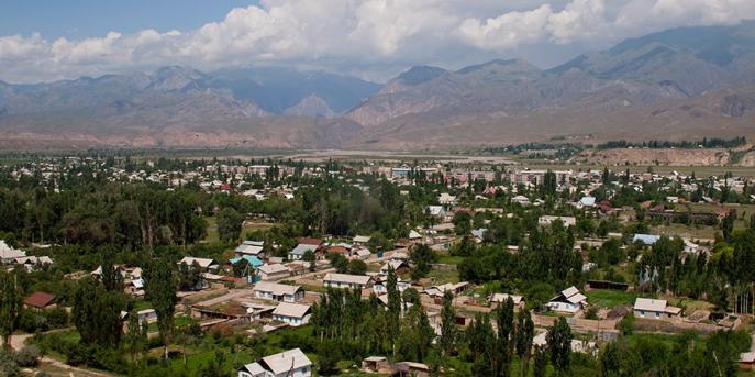
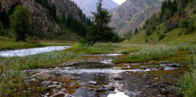
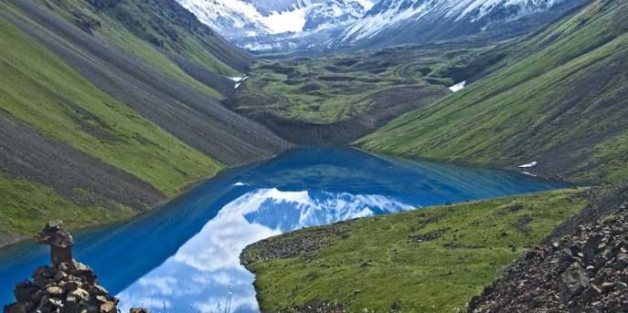
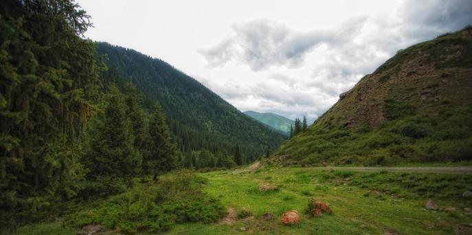
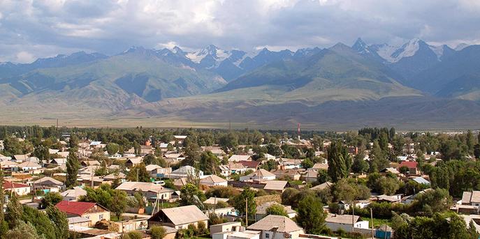
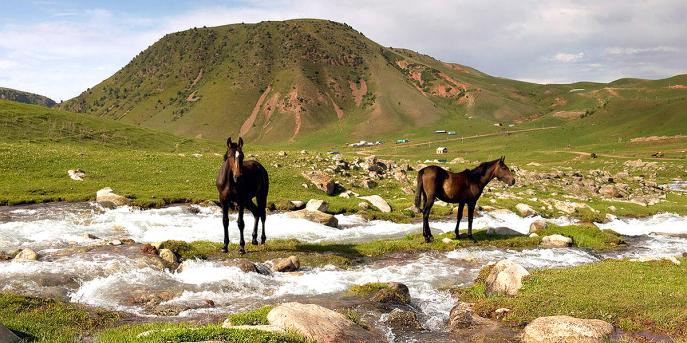
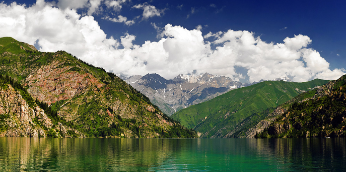
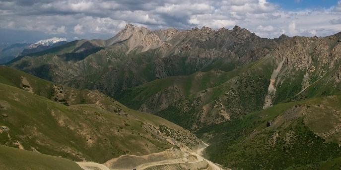
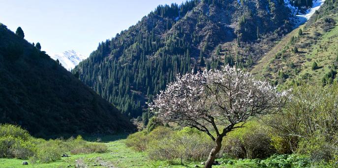
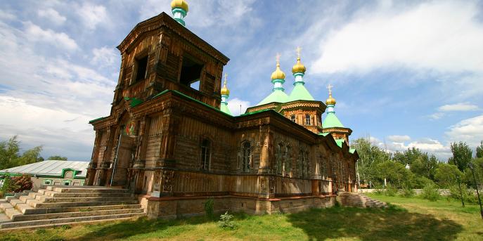
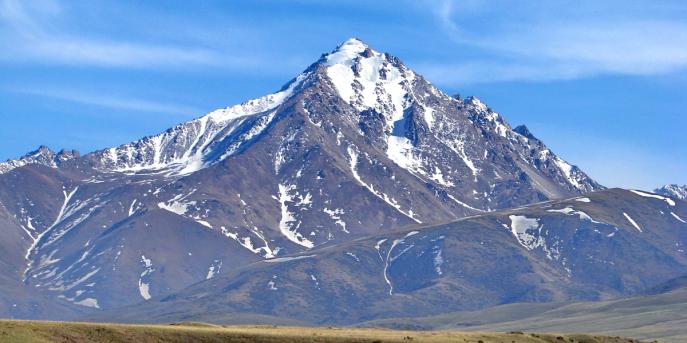
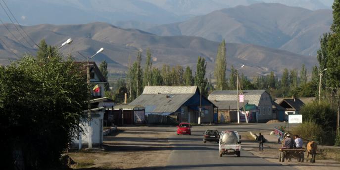
Талас областы
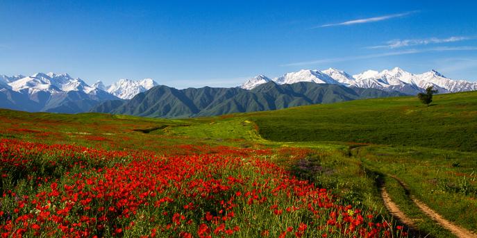
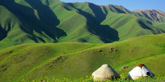
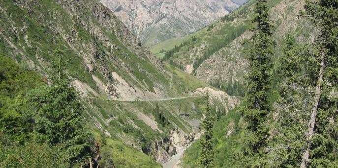
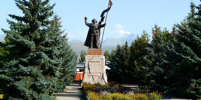
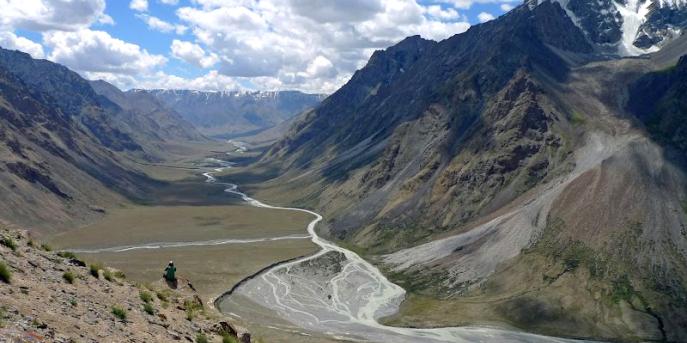
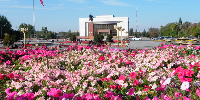
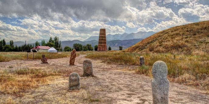
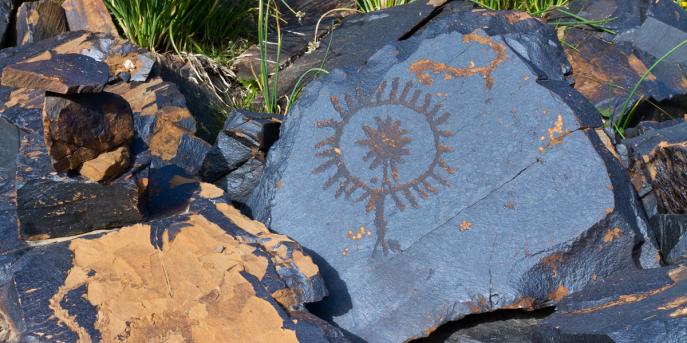
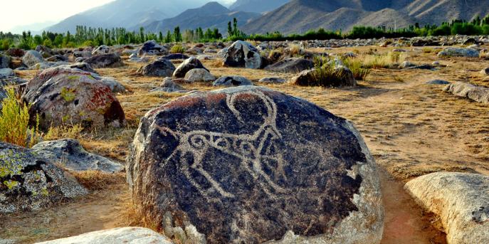
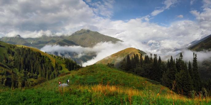
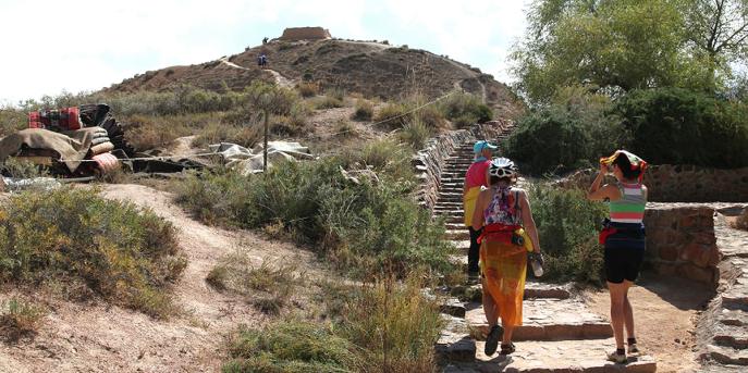
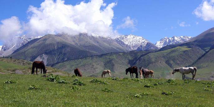
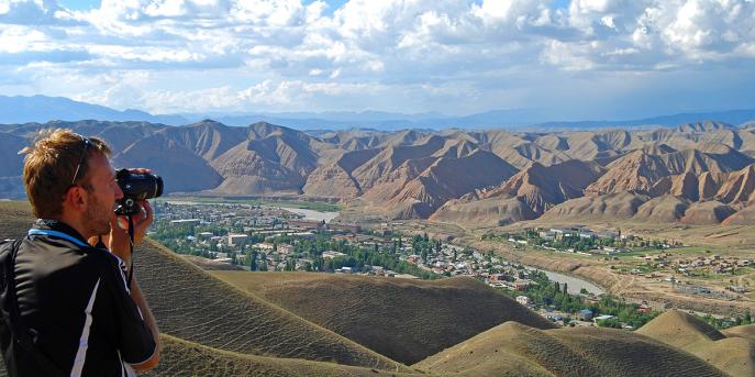
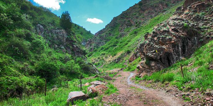
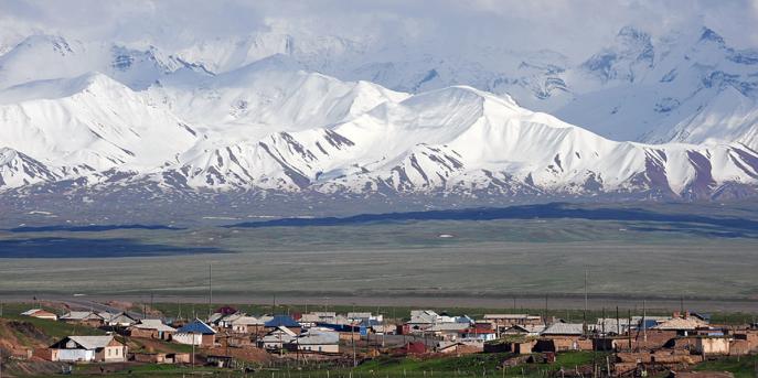
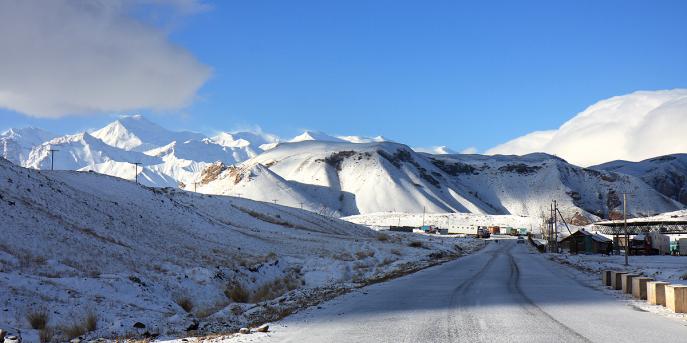
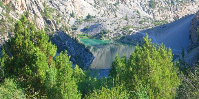
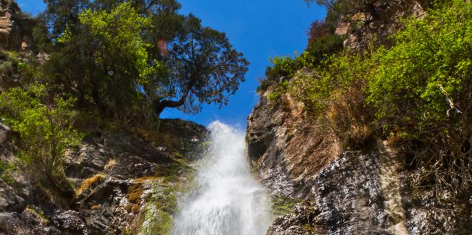
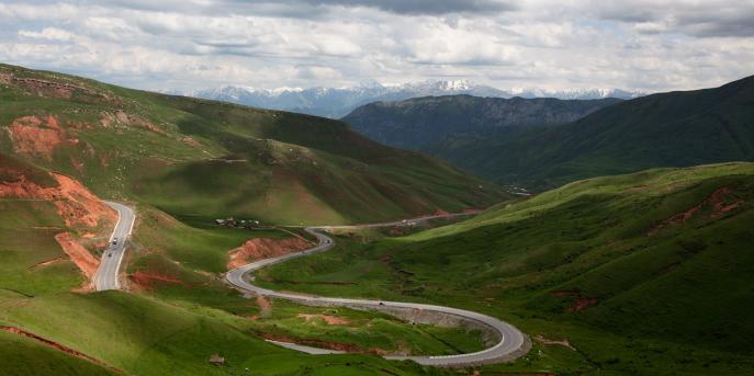
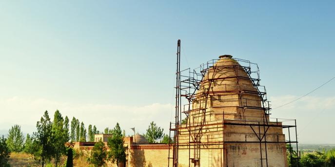
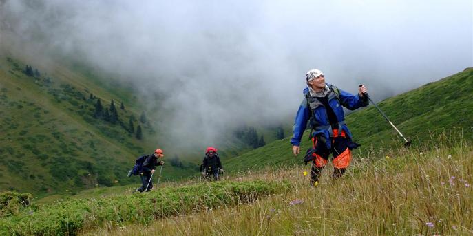
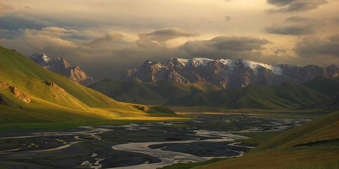
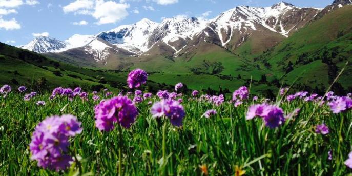
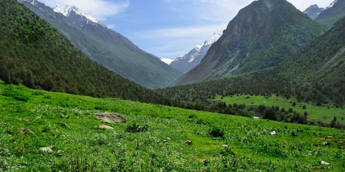
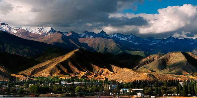
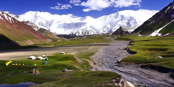
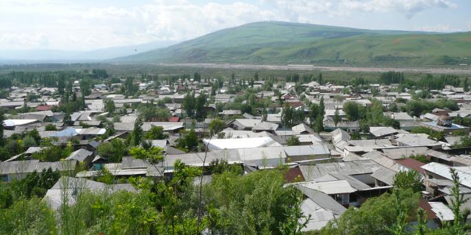
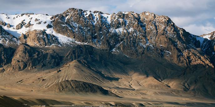
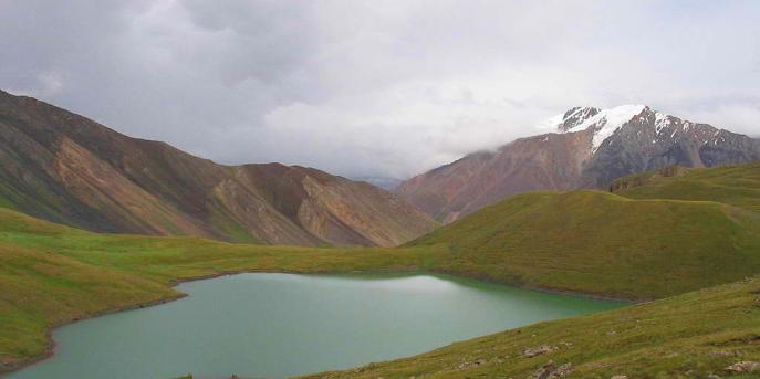
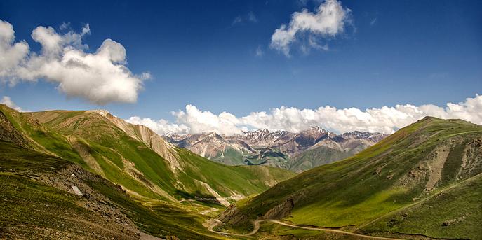
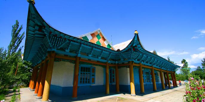
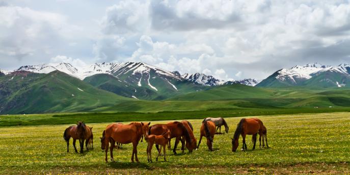
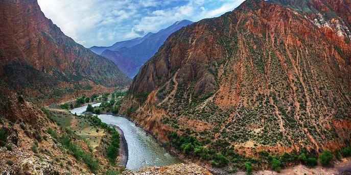
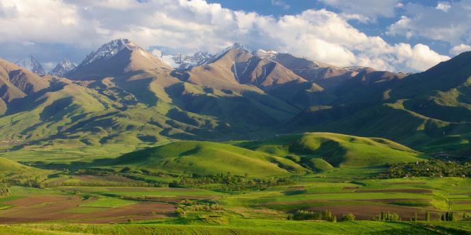
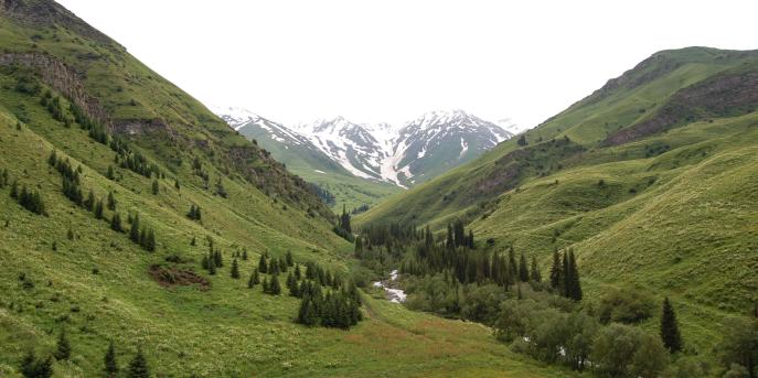
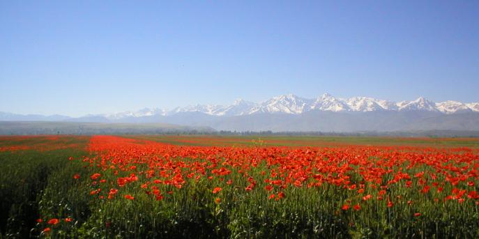
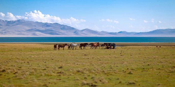
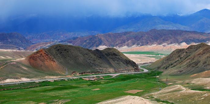
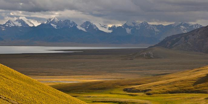
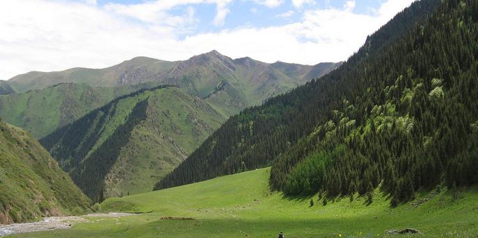
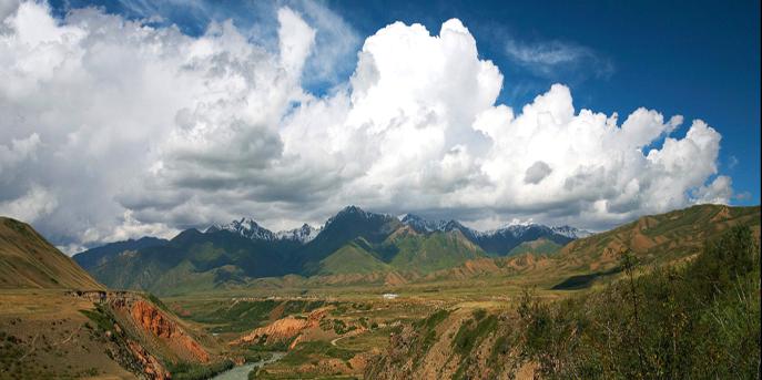
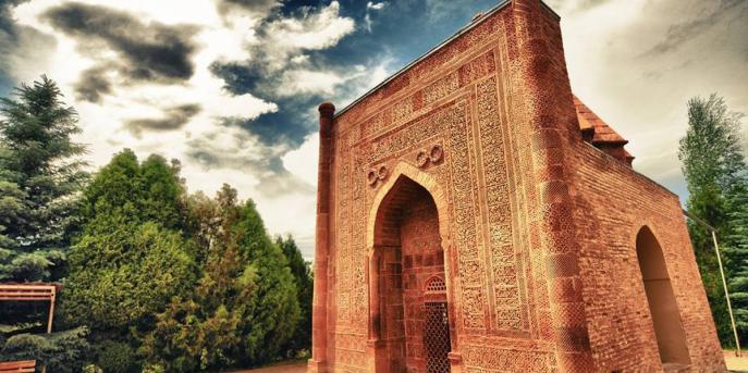
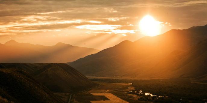
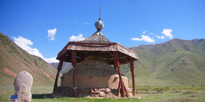
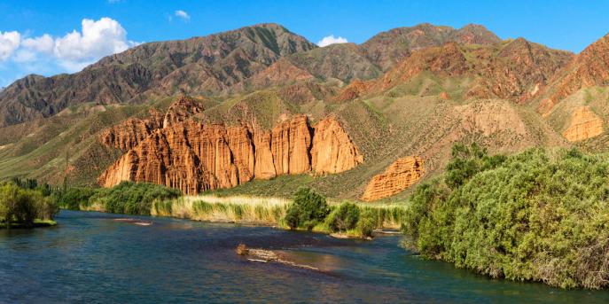
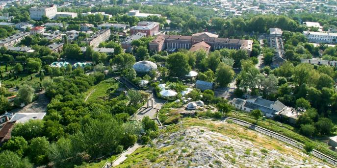
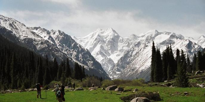
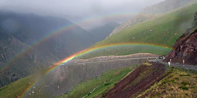
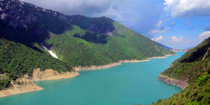
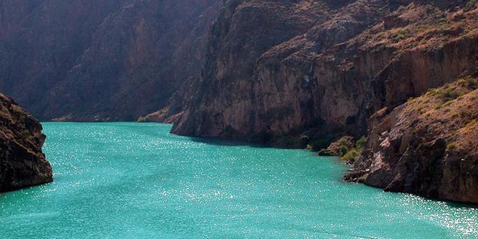
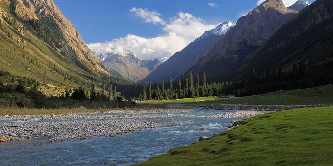
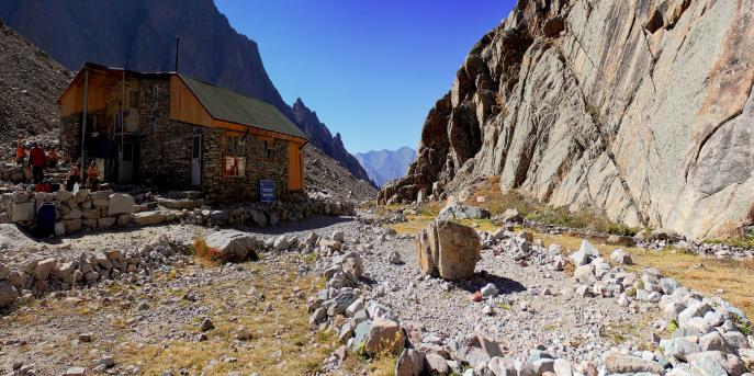
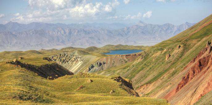
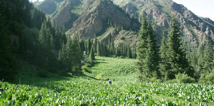
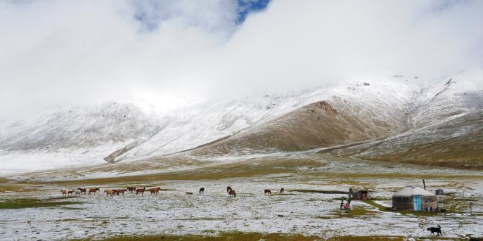
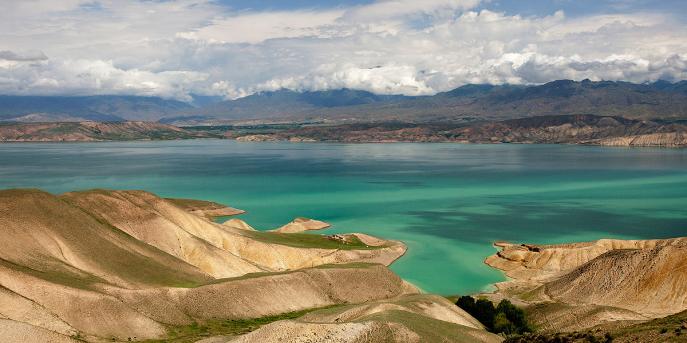
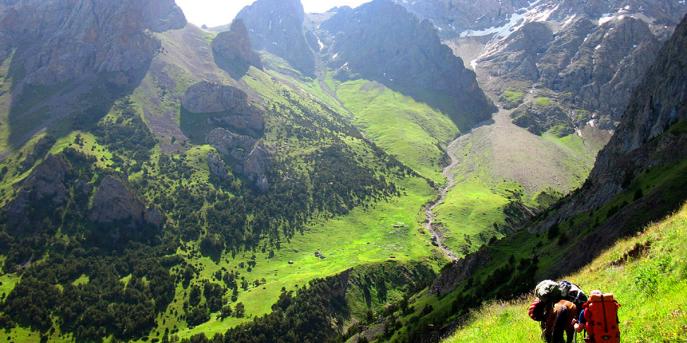
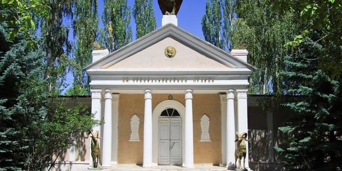
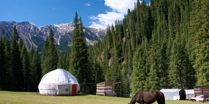
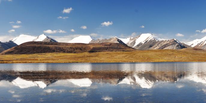
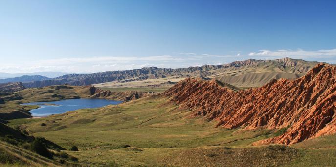
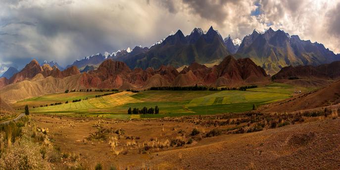
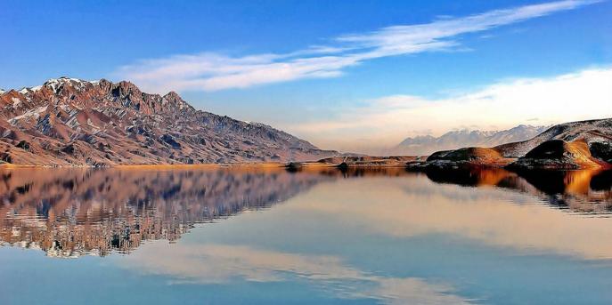
Talas Region
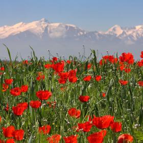
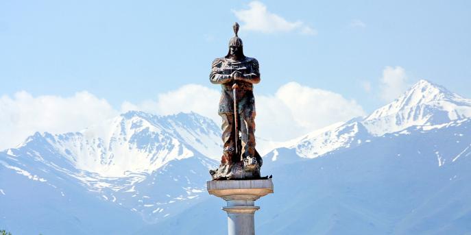
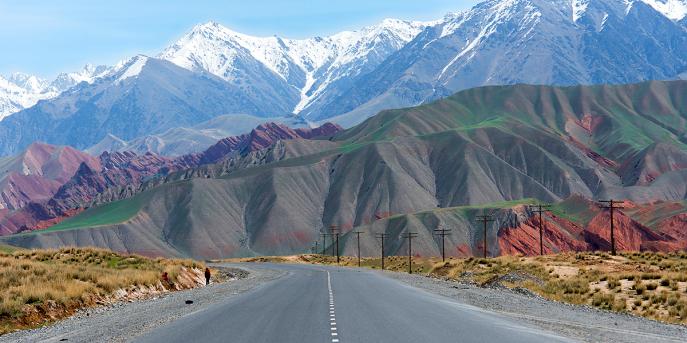
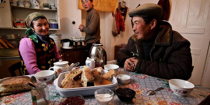
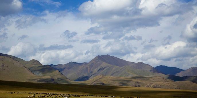
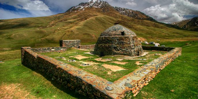
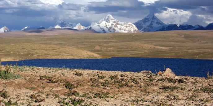
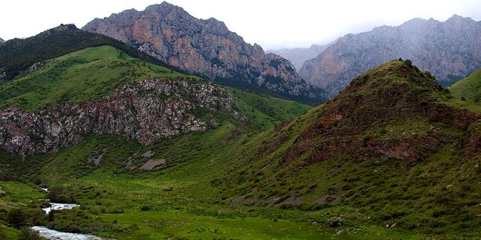
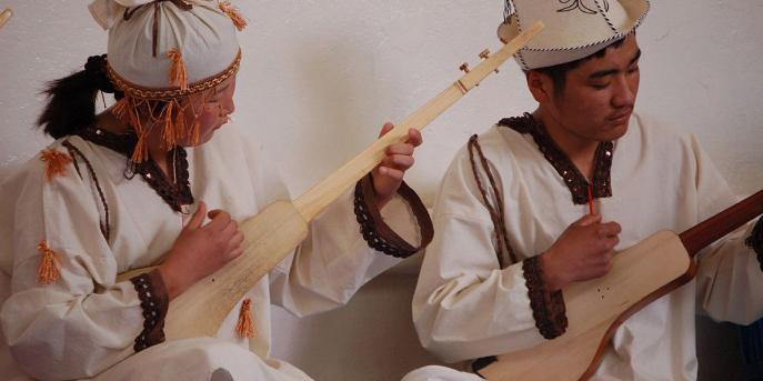
The great Kyrgyz hero Manas who united Kyrgyz people, according to the legend, was born and lived on the territory of modern Talas region.


Feel free to contact us 24/7 any way you like: